

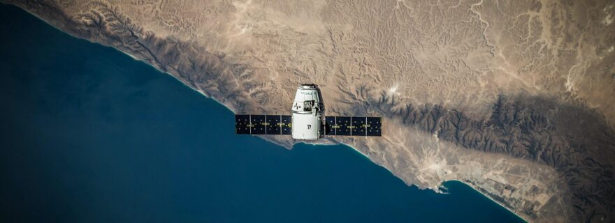
Satellites: Our eyes in the battlefield
Satellites help us see the Earth from space, when we cannot observe it otherwise. We should give them some credit.
The war in Ukraine is one of the latest instances of use of space technology to acquire information about events happening around the world, in a fast, accurate, and continuous manner. As military operations around Ukraine spread, fact-gathering on the ground and by air quickly became a difficult and dangerous endeavour, while space technology remained a safe and reliable source of intelligence. Satellites monitor every area of the planet around the clock and are able to provide us information in the form of remote sensing imagery. The sort of information that allows comparison and verification is difficult to obtain through other means, whereas satellites enable the constant and large-scale monitoring of areas that are otherwise nearly impossible to reach, as is evidenced in the case of the ongoing war in Ukraine.
Leading up to the attack against Ukraine in late February 2022, satellite images had revealed the concentration of Russian military vehicles close to the Ukrainian border. As the war began to unfold and escalated, satellites kept supplying images from cities under fire and from the movement of military forces around Ukraine. Most recently, satellite images showed that killings of civilians in the suburb town of Bucha, outside Kyiv, took place while Russian forces had control of the area. This is contrary to Russian claims that civilians were killed after Russian forces had withdrawn from the area. The New York Times obtained satellite images from Maxar Technologies depicting dead bodies on the street as early as 11 March 2022, when the town of Bucha was under the occupation of the Russian army, according to the latter’s official accounts. Reporters of the New York Times compared satellite pictures from early March that show dark objects resembling human bodies appearing on the streets, in the exact spots where the Ukrainian army said it discovered dead bodies when it reclaimed the town in the beginning of April 2022.
Against this background, some of the legal questions that emerge concern the collection of satellite images from territories under attack and their use as verification means. The Outer Space Treaty of 1967 establishes in Article I the freedom of States to use and explore outer space, which includes their freedom to launch and operate Earth observation satellites. Similarly, the UN Remote Sensing Principles of 1986 provide for the freedom to conduct remote sensing activities without the consent of the State that is being sensed. Satellite images provide information in a fast and accurate way, which would not be possible by other means under the current circumstances. They also enable the verification of events for the purpose of public information, particularly when truthful news is difficult to reach some areas around the world. Furthermore, Earth observation images could be used as further proof of war-related crimes in international proceedings, which would depend on the statutes of the judicial instruments in question. For reference, the International Court of Justice and the International Criminal Court have both used satellite images to assist their judgment in cases before them. The more widespread the use of satellite data becomes, more legal issues will need to be addressed, such as the collection of high-resolution imagery, intellectual property rights connected to remote sensing images and processing software, as well as generally the access to and dissemination of remote sensing data. For now, we should highlight the use of remote sensing for the benefit and in the interest of humankind, a basic principle of international space law, enshrined in Article I of the Outer Space Treaty.
0 Comments
Add a comment